Set of two vintage maps of portions of England, which probably date from between 1900-1930s. Bacon's Road-Map of the South Coast covers Margate to Land's End, and Bartholomew's One Inch Map for Pedestrians covers The Lake District. Vintage find, please see photos for more information on condition.
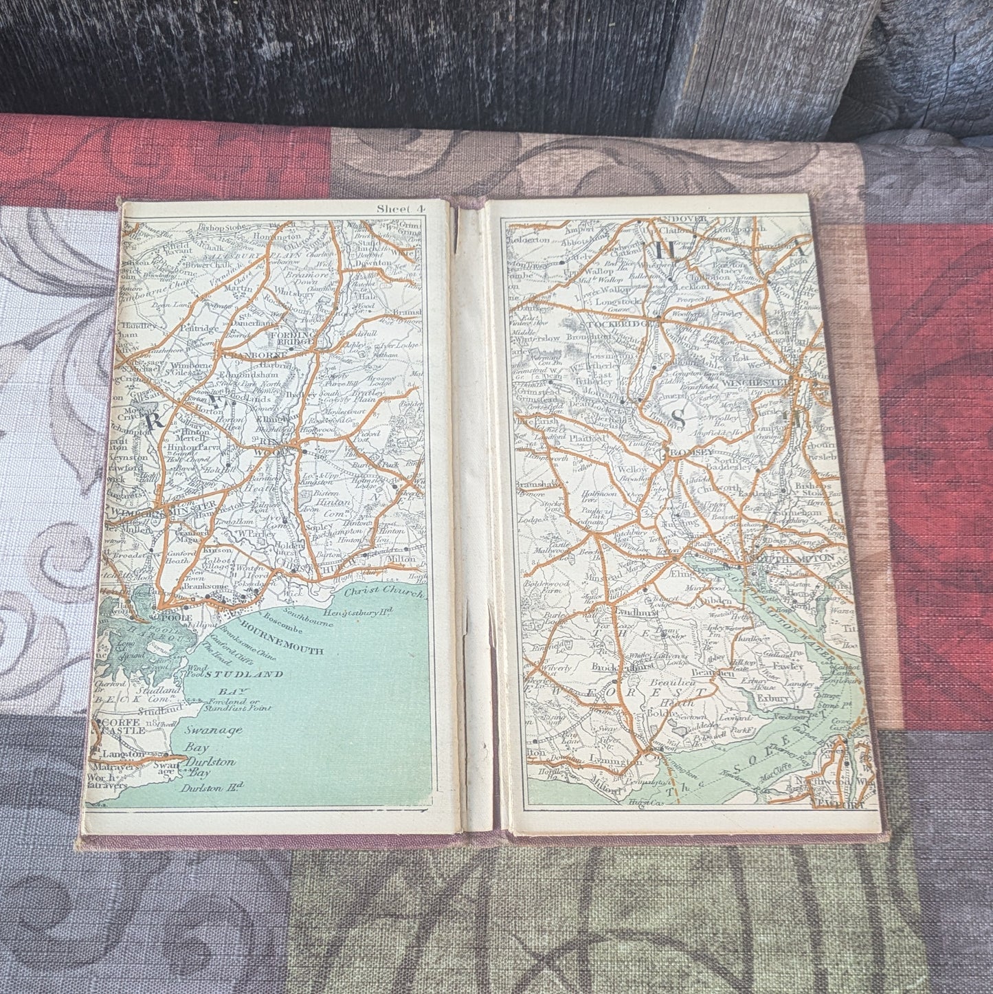
Bacon's Road-Map has a hard cover, opening to reveal two fold-out maps. Maps show Cornwall, Devonshire, Hampshire, Sussex and Kent. Each measures 41" long x 7 5/8" high. Cover has some stains and wear to the corners and edges. Maps are in good condition with no issues noted.
Bartholomew's One Inch Map of the Lake District for Pedestrians contains one map, about 30" x 33.5". It is called a one-inch map as 1" on the map equals one mile. Shows Lake Windmere and surrounding areas. Map has wear as shown to folded map corners. Sticker from Sam Read, Bookseller on front as shown .The colors are still very nice, it would make a great display piece if you choose to frame it.