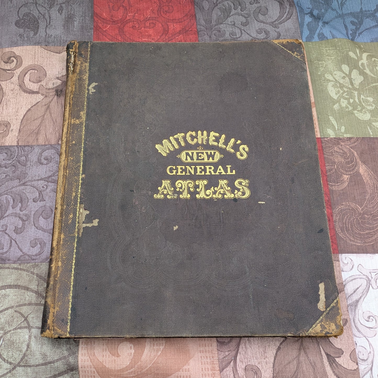
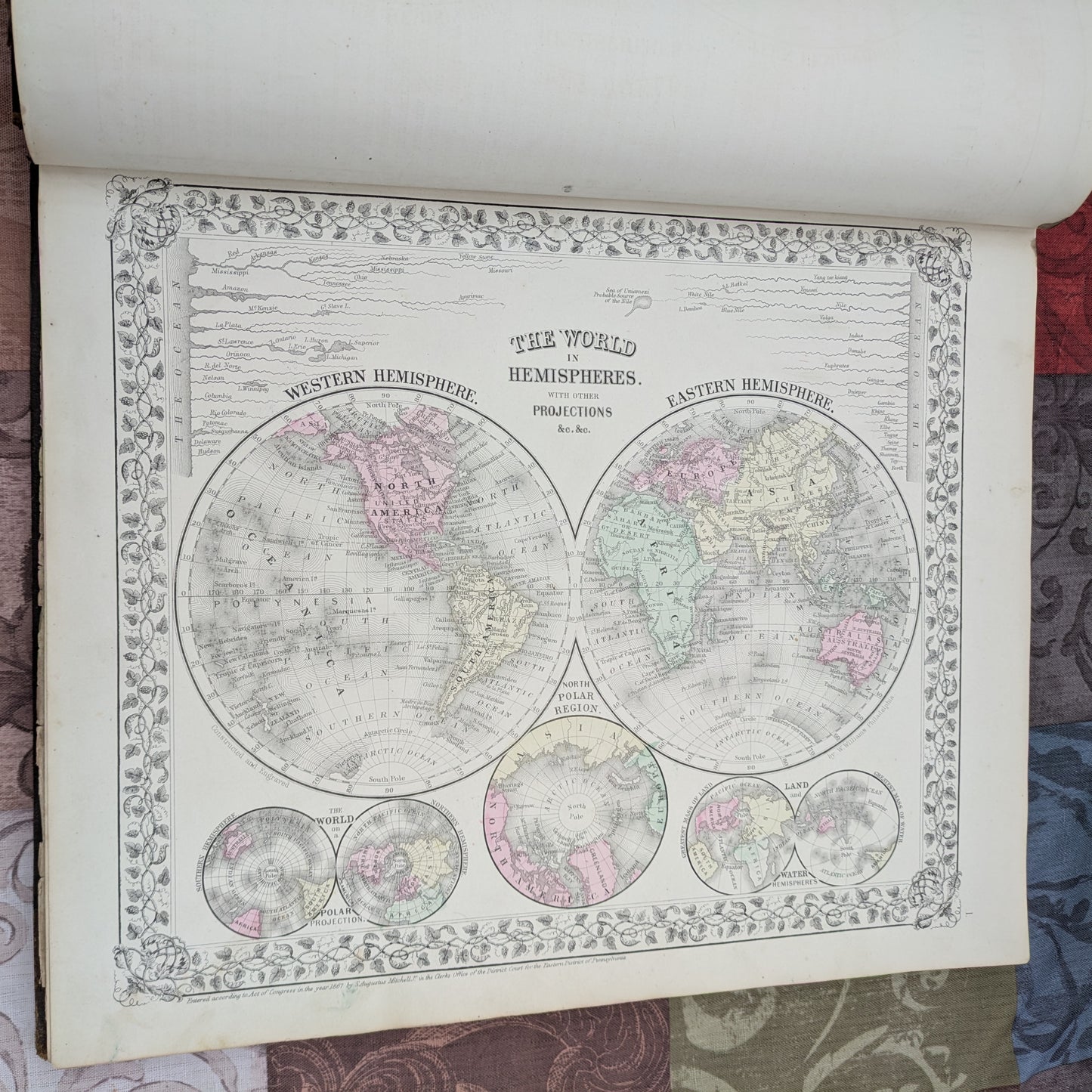
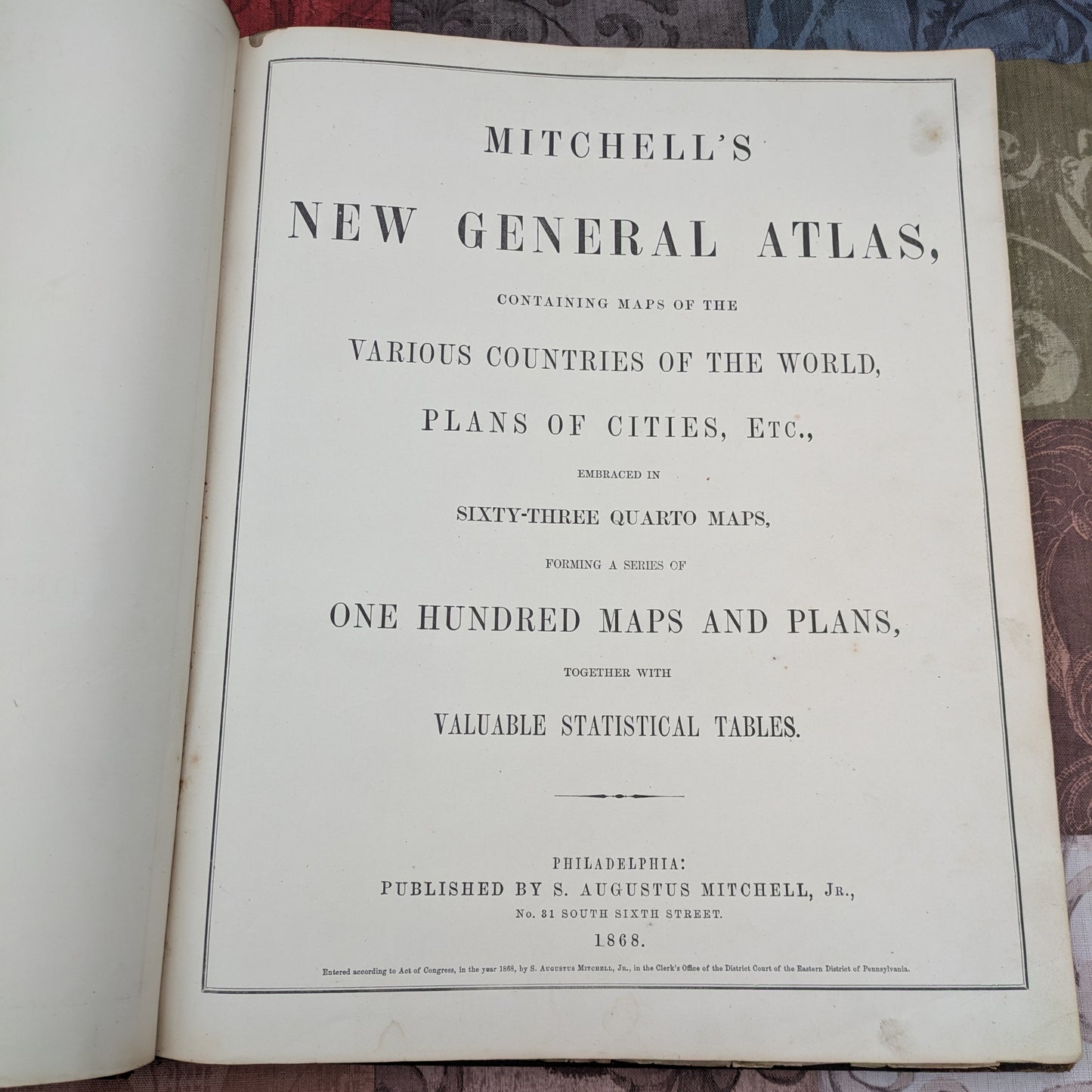
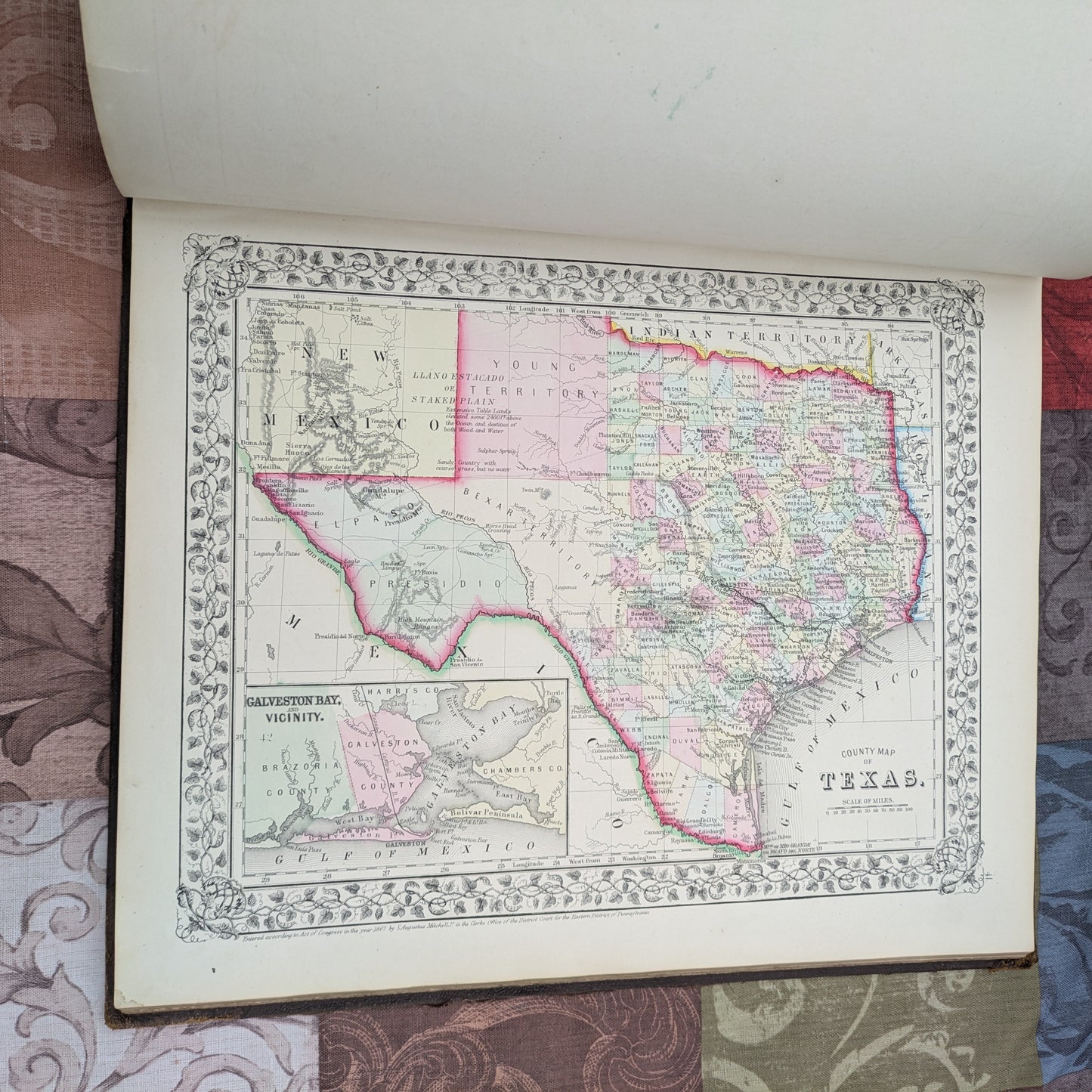
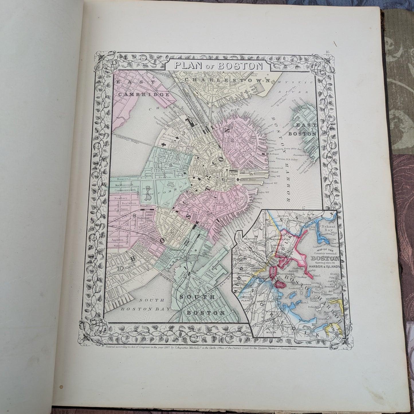
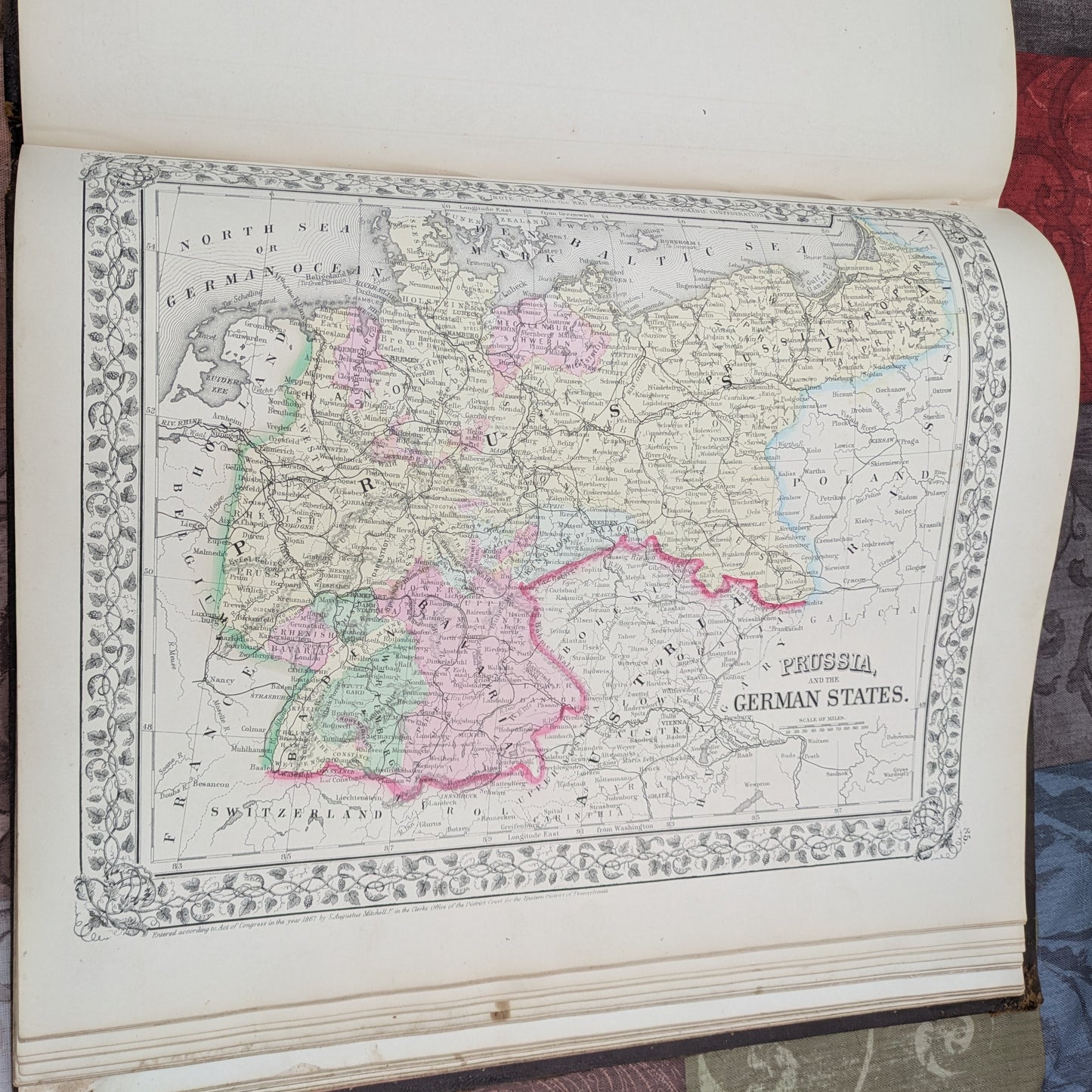
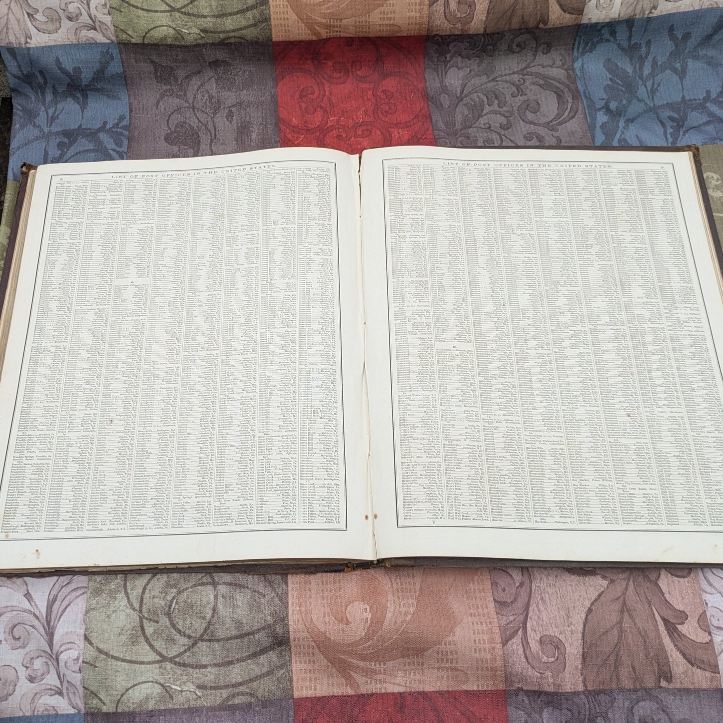
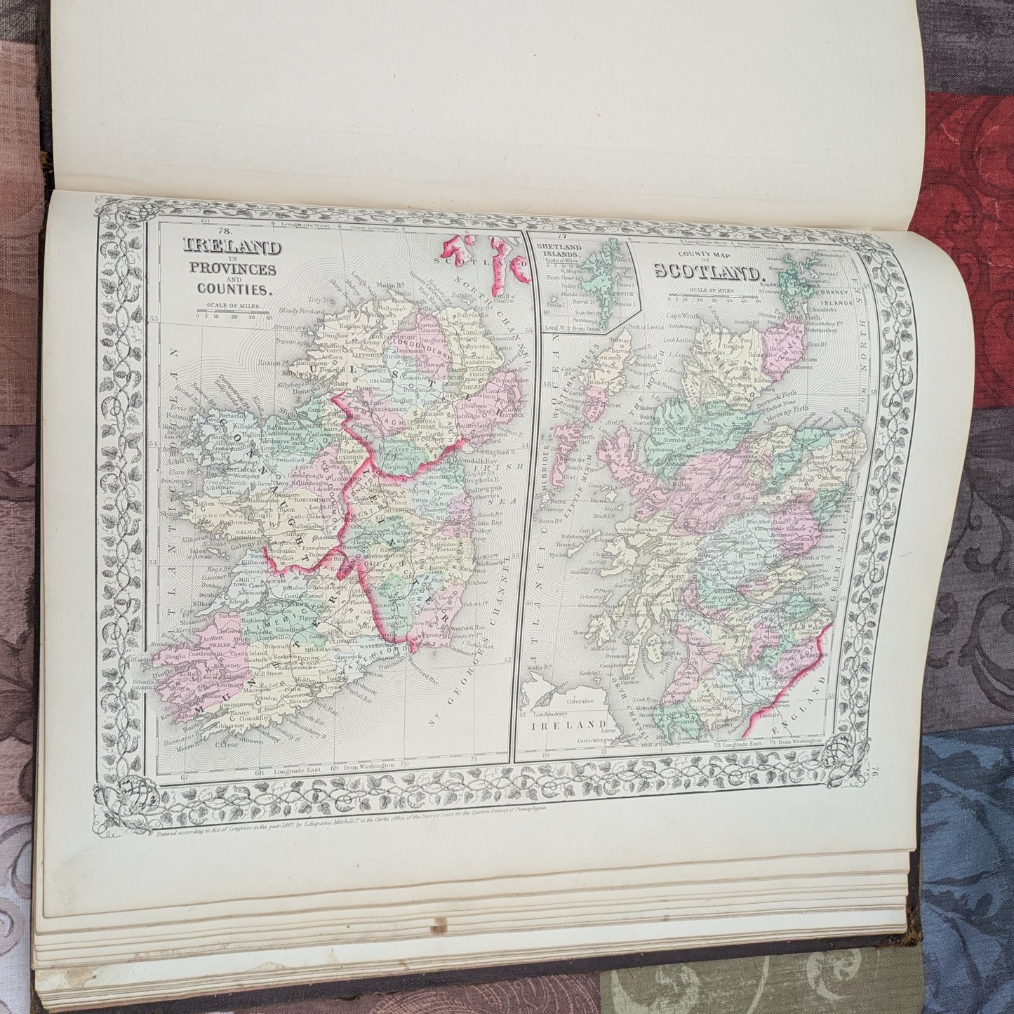
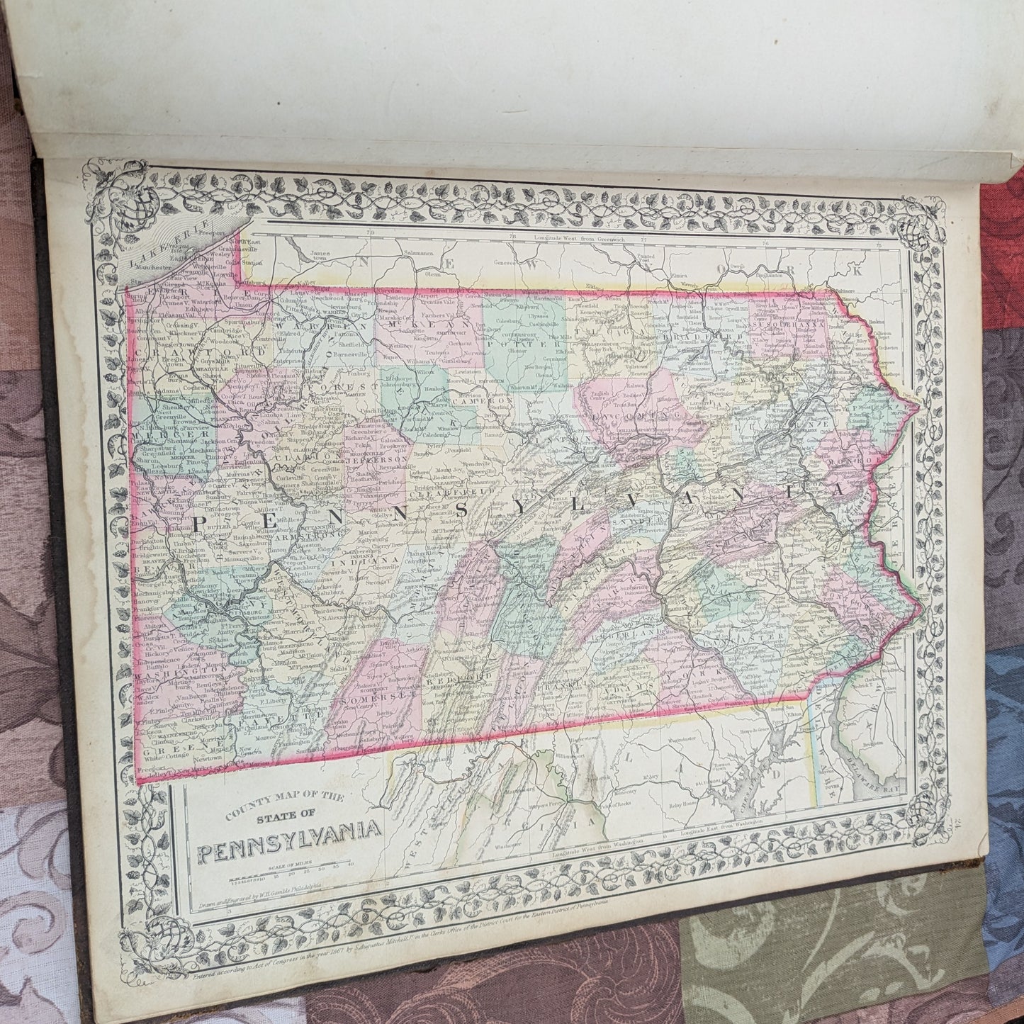
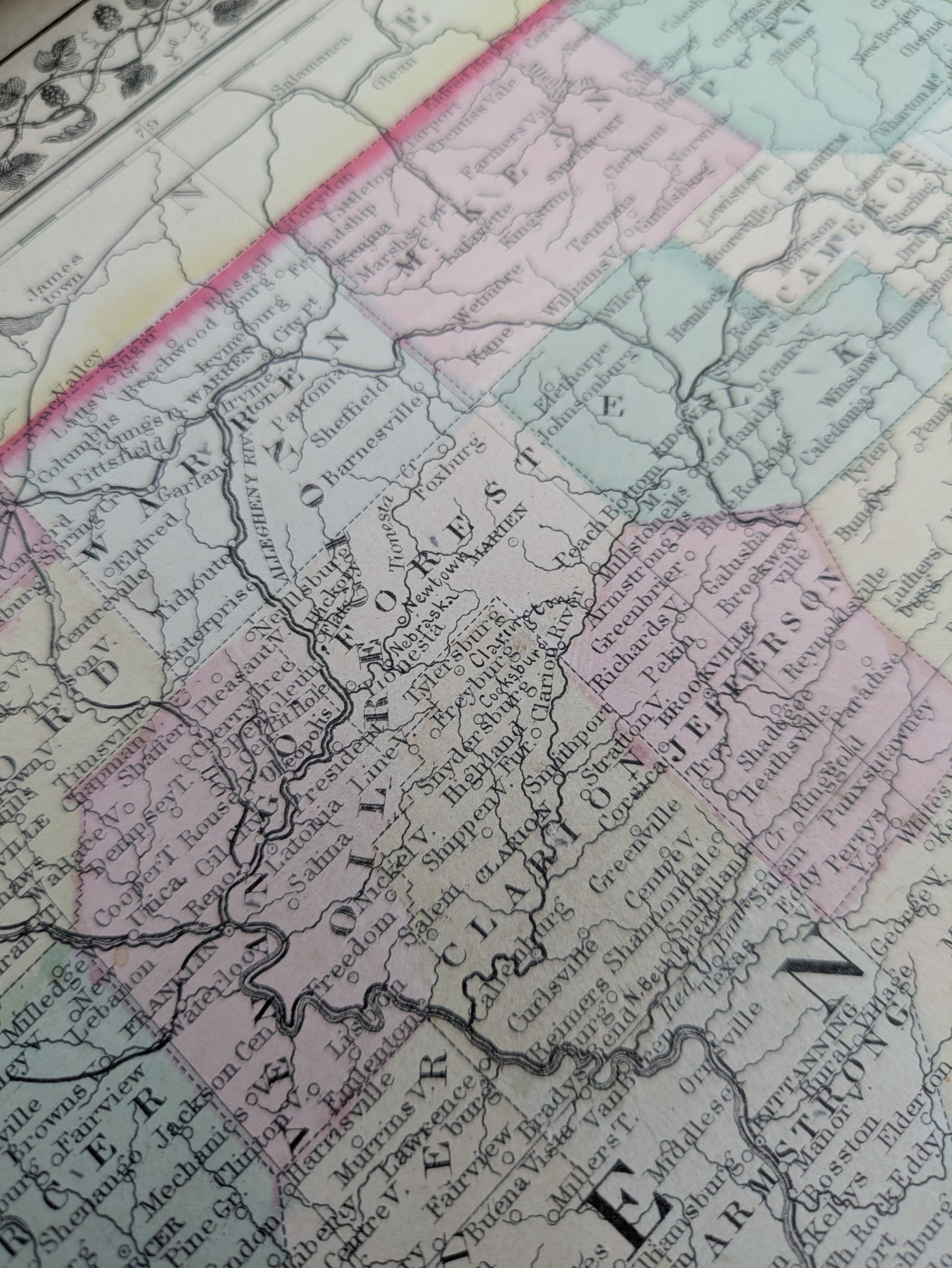
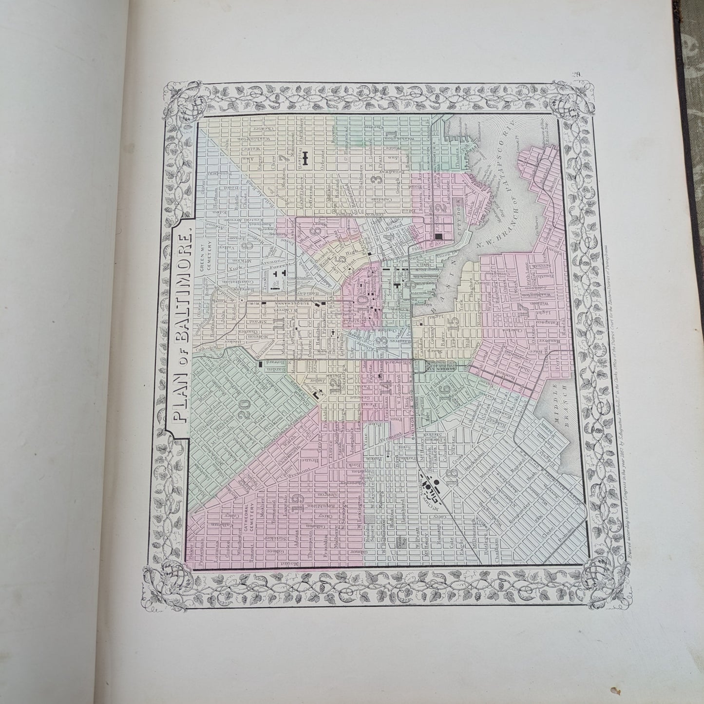
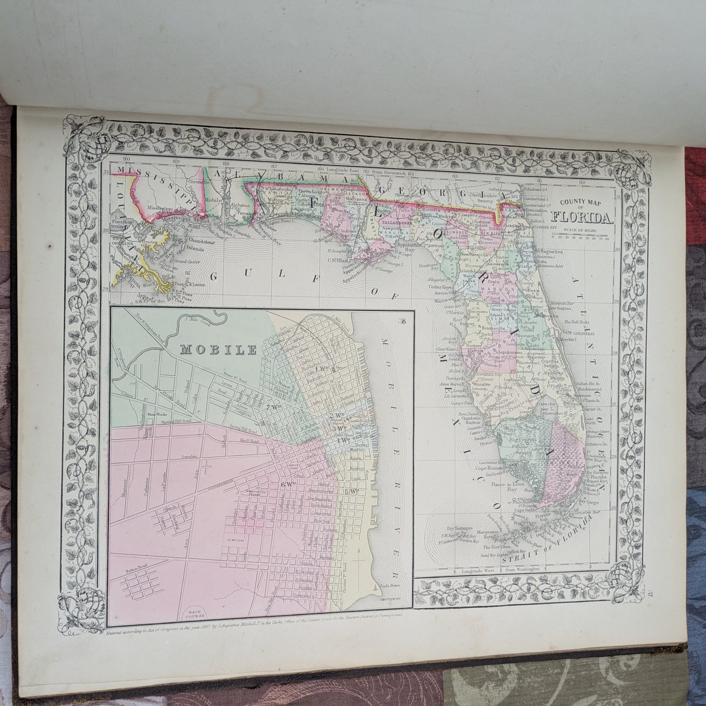
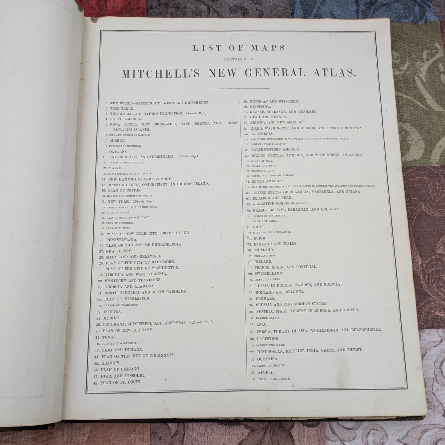
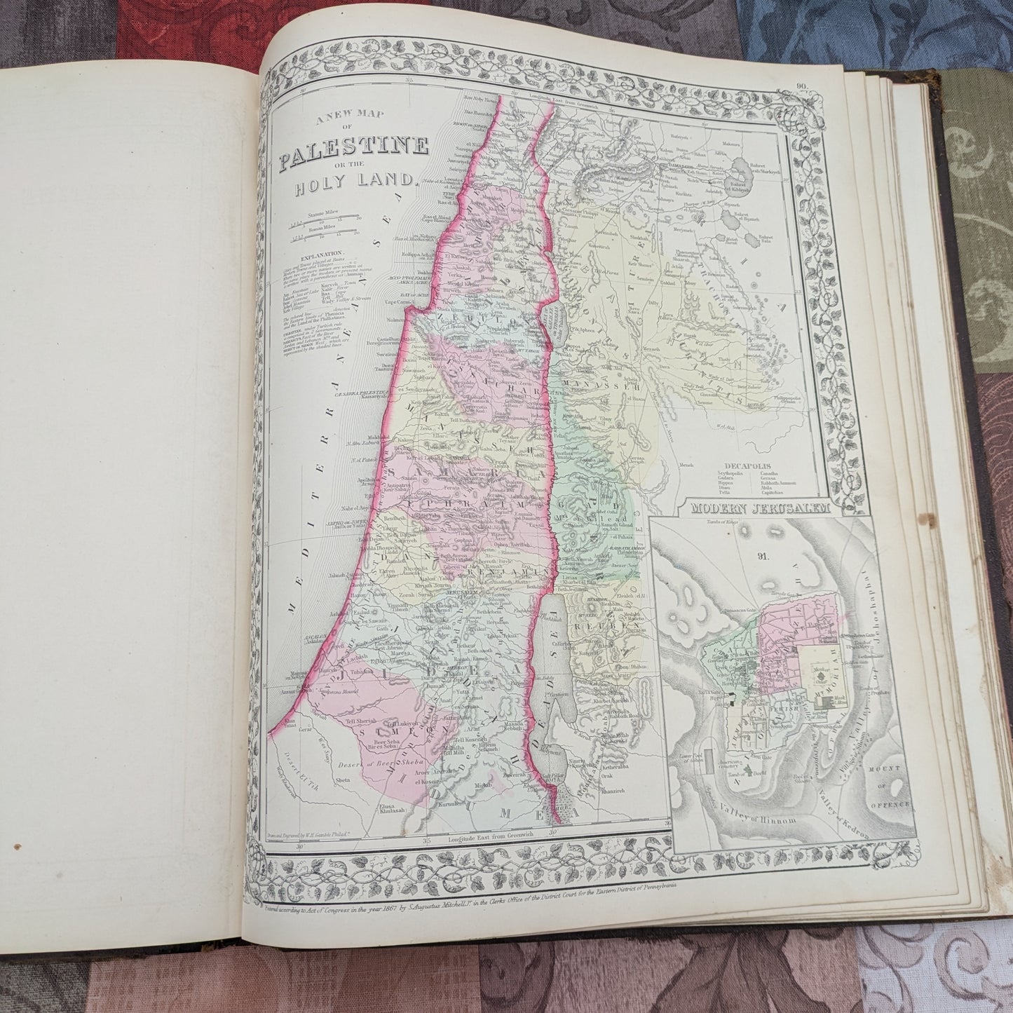
Gorgeous book of maps, Mitchell's New General Atlas was published in 1868, over 150 years old. The colorful maps depict American states and cities as well as various countries around the world. This is a large book, measuring 15.5" x 13" , and the large maps are surprisingly detailed. I was shocked to see our small town of Tionesta on the Pennsylvania map. Besides the gorgeous maps, there are pages of statistics and information in the back, including a list of all US Post Offices, census data, geographic information and more.
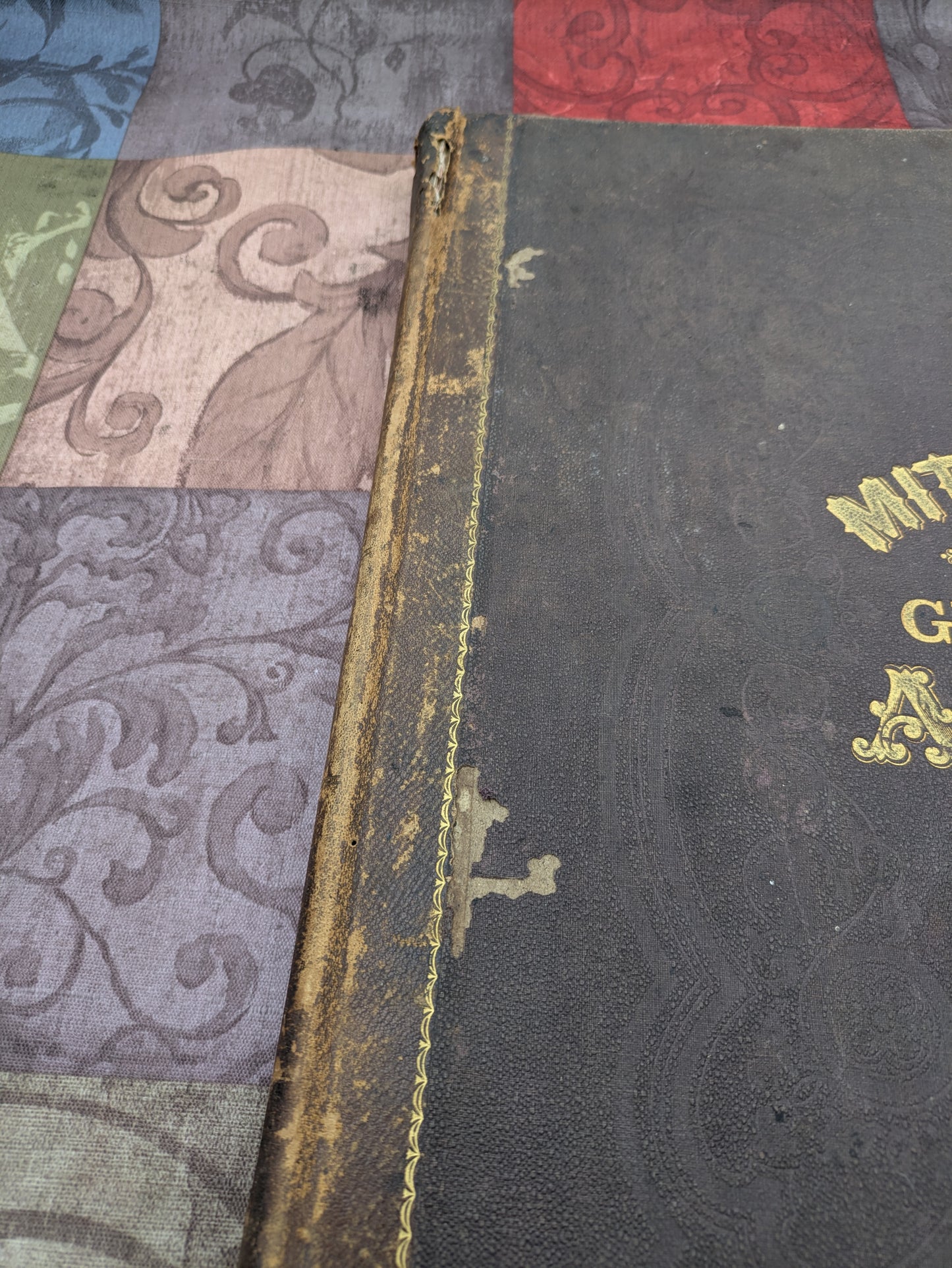
Antique estate find, please see photos for more information on condition. In good condition for age. Binding is intact, and all pages appear to be present. Some small stains on occasional pages. Heavyweight paper pages are not yellow or brittle. Cover has noticeable wear and some flaking as shown, and a small tear at top front cover hinge.